20+ Ways to Use Hovermap
Discover 20+ of Hovermap’s many data capture applications across a wide range of industries.
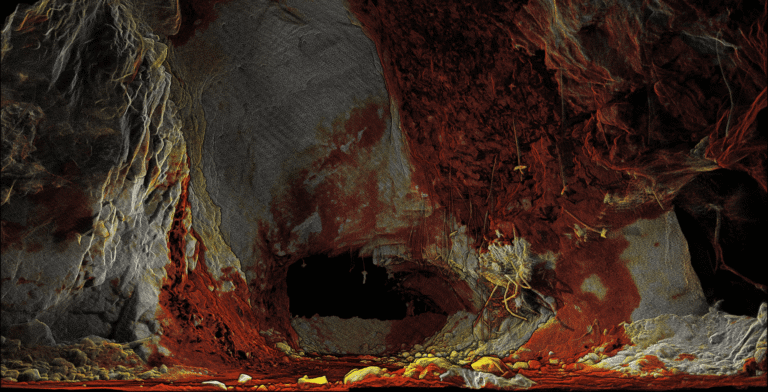
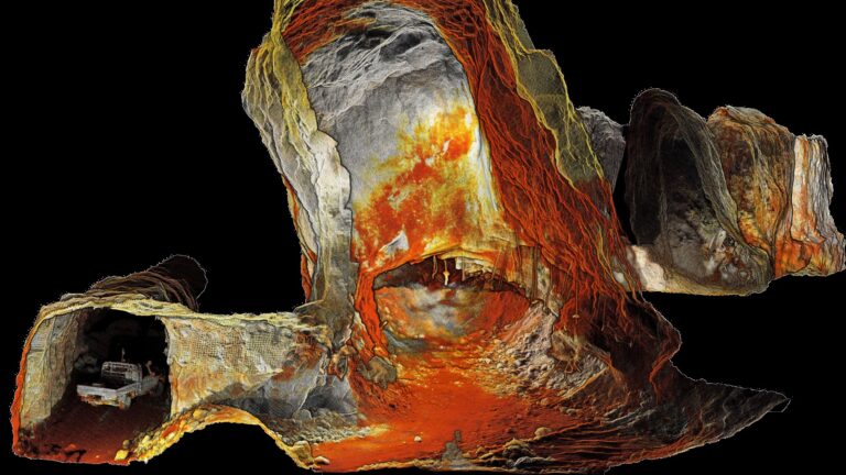
Hovermap is a mobile LiDAR mapping solution designed for challenging GPS-denied environments. Uniquely versatile, Hovermap’s scanning techniques employed are diverse, including beyond visual line of sight flight, lowered on a winch, extended on a boom, vehicle mounted or backpack mounted. Equally capable above ground or underground, indoors or out, Hovermap is able to meet the increased demand for 3D imaging applications.
This paper describes over 20 data capture applications across a wide range of industries, including agriculture, construction, energy, engineering, forestry, infrastructure, telecommunications and visual effects.

This city building point cloud was captured through a Hovermap flight, colorized with realistic colors and texturized to produce an intuitive element in a city model.